Canberra and the south coast, as well as Sydney, could be affected by the dust, more likely on Thursday, when winds strengthen again, Ms Woodhouse said.
"It's more likely tomorrow that we could see something like that," she said.

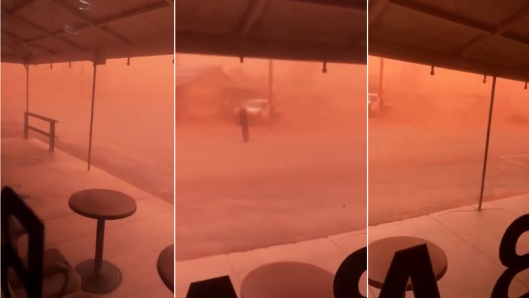
The dust storm as seen from the White Cliffs Hotels in White Cliffs, about 250 kilometres north-east of Broken Hill on Tuesday afternoon. Credit:Facebook: White Cliffs Hotel
"Getting towards Sydney is a bit more in the 'iffy stakes' at the moment, but is one of the strongest signals [for dust storms] that we have seen so far," Ms Woodhouse said.
The Office of Environment and Heritage, meanwhile, has issued a forecast for "poor" air quality in Sydney on Thursday "due to particles". It will be "unhealthy for sensitive people, and could cause symptoms, especially in people with heart and lung disease", OEH said.

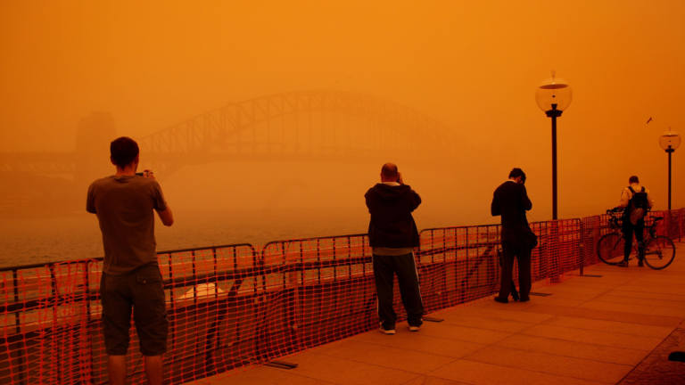
Tourists gather at Circular Quay as the dust storm hit Sydney in 2009. Credit:Kate Geraghty
"We are looking at quite a windy day tomorrow and into Friday," she said.
A low-pressure system near Adelaide will shift towards Tasmania, dropping temperatures sharply.
On current forecasts, Sydney's top will ease from Wednesday's 27 degrees on Wednesday to 26 on Thursday, but with westerly winds reaching 45 km/h, conditions will feel a lot cooler.
Loading
"The combination of cool temperatures and the winds will mean we'll have that wind-chill factor starting to play in," Ms Woodhouse said.
Snow showers may reach down to 1100-1200m in some mountain areas in the southern Alps as a cold front moves across the state.
Eastern South Australia and far-western Queensland, areas with typically little vegetation, are typically sources of dust storms.
Ongoing drought conditions across much of NSW, however, have increased the size of those regions.
Warning issued
The bureau, meanwhile, issued an alert warning of a range of wild weather events possible on Thursday.
Aside from the raised dust, severe thunderstorms are possible for northern and southern parts of NSW and the ACT, it said in a statement.
Despite the brief shift to cooler temperatures, the ongoing parched conditions across much of the state means bushfire risks will also be elevated in coming days - including a total fire ban for the Hunter region on Thursday.
"Strong winds and very low humidity will lead to 'Very High' fire danger on Thursday and Friday for many parts of New South Wales, including areas around Sydney, Newcastle and Wollongong," it said.
'I was a little bit nervous'
Tuesday's dust storm comes two weeks after similar conditions in the same NSW town.
On November 6, White Cliffs was blanketed in thick dust as a "wall of dust" descended on the region.
Barry Turner, 65, was driving from his property towards White Cliffs in outback NSW when he was caught inside what he calls a "wall of dust".
"I had to get home, but I didn't think it was going to be quite as bad as what it was," he said.
"It got pretty dark so I pulled over to the side of the road and waited for it to pass."
A video posted online shows Mr Turner's car driving towards the huge cloud of dust before plunging into complete darkness.
"Not much scares me but I was a little bit nervous."

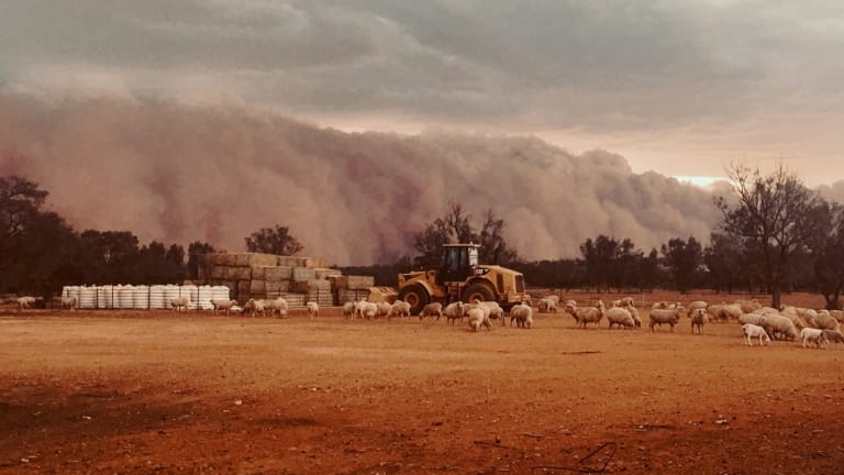
A picture of the dust storm snapped by the Turner's daughter.Credit:Louise Turner
Mr Turner and his wife, Annette, 65, have lived in the area for 56 years and have seen a few dust storms - but yesterday's was only the second one they've seen that was this extreme.
"They get a little bit darker but they're never as dark as that," said Mrs Turner.
"It is a bit scary when it goes black. It just makes you feel uncomfortable."
Peter Hannam is Environment Editor at The Sydney Morning Herald. He covers broad environmental issues ranging from climate change to renewable energy for Fairfax Media.


 Add Category